Your council is Maranoa Regional Council
In your local area the top severe weather risks are: *
Flooding
Severe Thunderstorm
Bushfire
Heatwave

Cyclone
Severe weather risks affect everyone differently. Understand the specific risks to your household to be fully prepared. Being ready can minimize the impact on your life, loved ones, home, finances, and business. Think beyond your property to how weather affects your daily life and those around you.
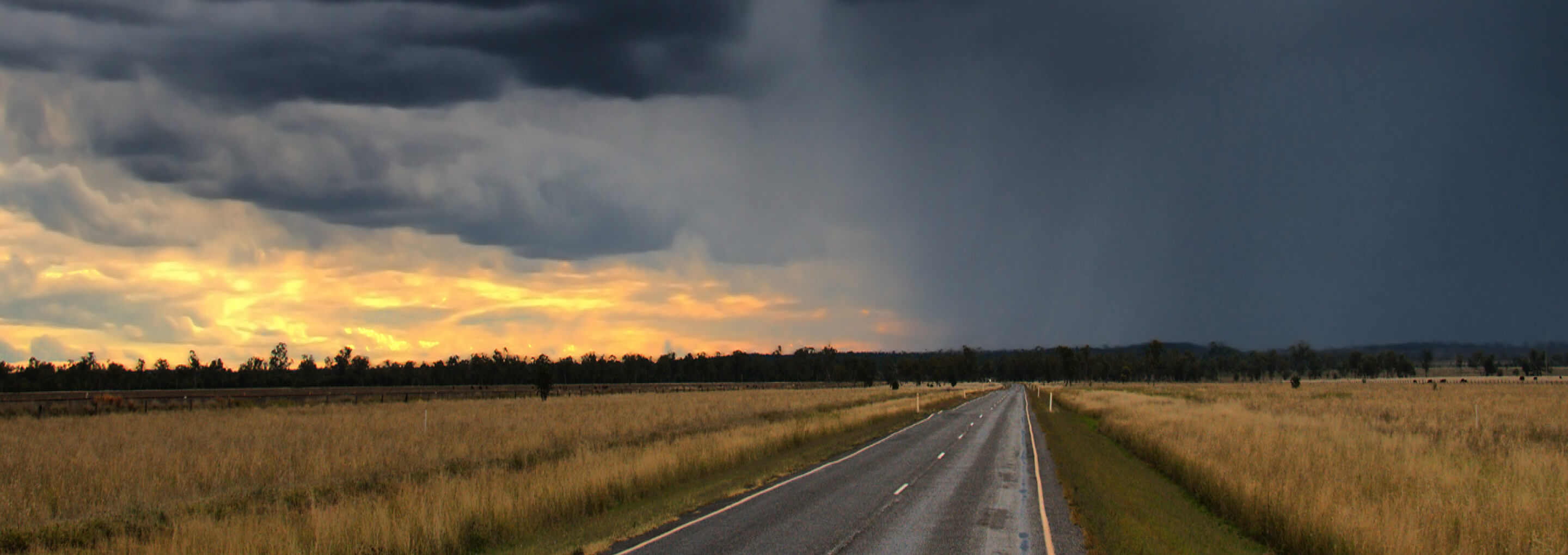
The Maranoa region experiences very hot summers reaching up to 40°C. Severe thunderstorms can bring occasional heavy rainfall, dust storms and high winds, which make travel challenging. Flooding, though a natural cycle, affects services and infrastructure throughout the region. The winters are mild, attracting tourists to the region.
Is your household prepared for severe weather?
Get ready, make a plan.
*This information has been sourced from the State Disaster Risk Report